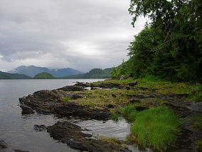
1. Tongass National Forest, on the southeast coast. "Visitors spend their vacations there camping, canoeing, skating, and hiking."
This is the largest National Forest in the United States. It covers most of that southern panhandle of the state that is adjacent to Canada. I would assume the majority of it is accessible only to the more rugged and self-sufficient types of outdoorsmen, though most of the park's annual one million official visitors arrive via cruise ship.
2. Chugach National Forest, near Prince William Sound in the south. "A vacation spot".
This place appears to be best known for having a larger population of bald eagles than all of the lower 48 states combined, and for its paucity of roads and trails.
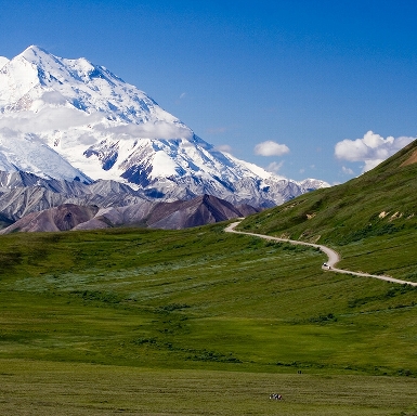
3. Mount McKinley National Park, in central Alaska, 123 miles from Fairbanks. "Second in size to Yellowstone National Park in the United States."
The name of the mountain was officially (and somewhat controversially) changed to Denali by Barack Obama in 2015, though the park itself was apparently renamed Denali National Park as far back as 1980. The park is larger than the entire state of New Hampshire. Receives around 600,000 visitors a year. The name change caught me off guard so I've continued to call it Mt McKinley, which evokes a picture and a meaning in my mind, while Denali doesn't signify anything.
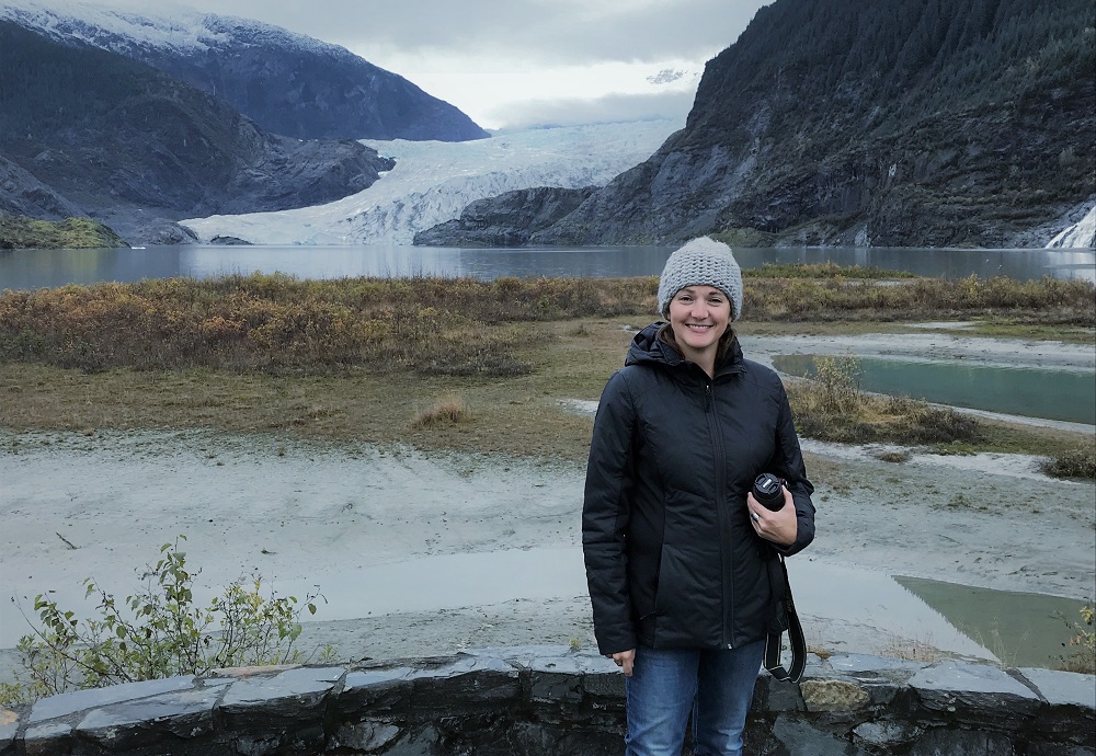
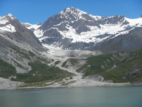
4. Glacier Bay National Monument, near Juneau. "Made up of vast and magnificent glaciers, which can be seen from a plane or a boat."
Upgraded to a National Park by Jimmy Carter in 1980. Received 597,000 visitors last year (Mt McKinley got 594,000. One would imagine that global warming would be totally decimating this park but it is not clear that that is the case. The ice in the bay retreated 48 miles between 1794 and 1879, and "in general, the...glaciers in the park have been thinning and slowly receding over the last several decades", though one is stable and another is actually advancing.
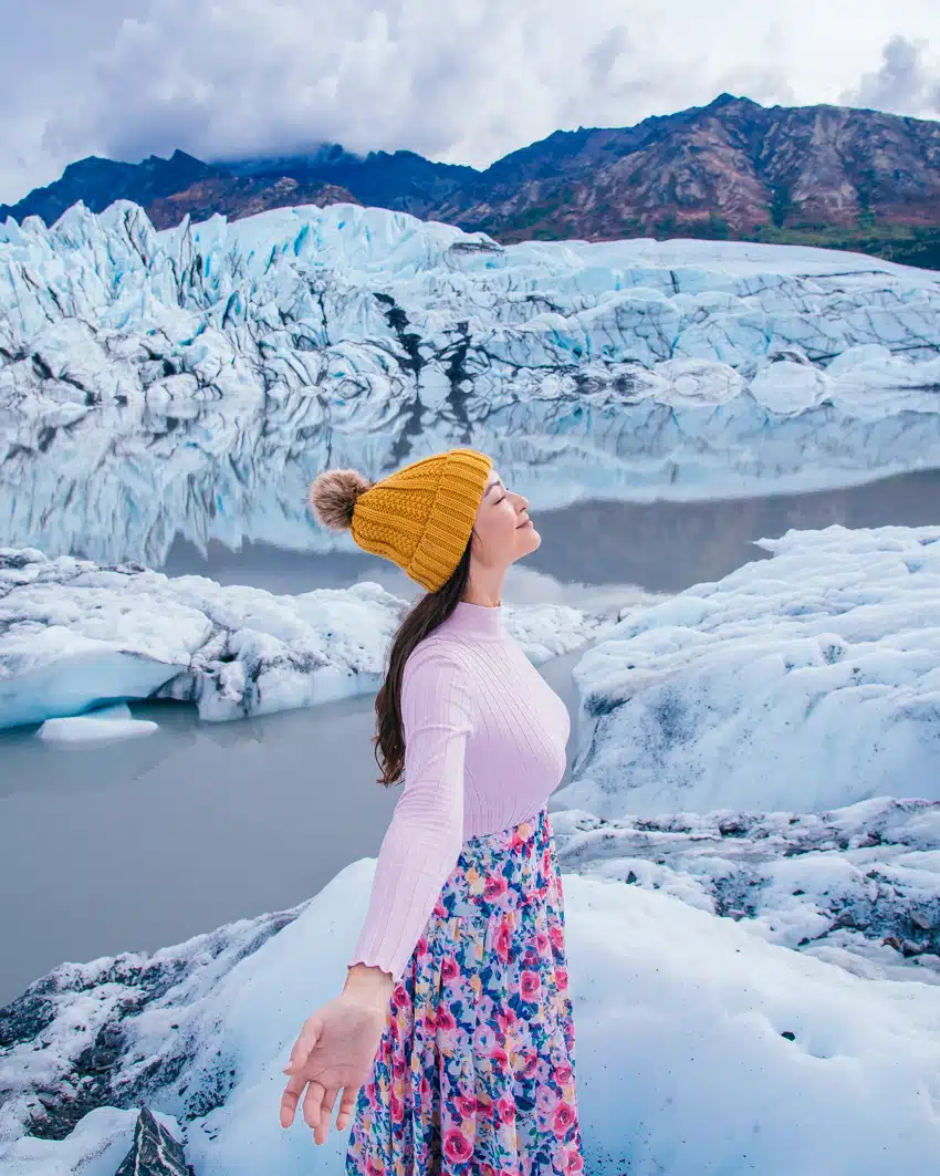
5. Child's Glacier, in the northeast, near Copper River. "A magnificent ice cliff, 200 to 300 feet high, about as high as the Capitol Building in Washington."
This appears to be part of the Chugach National Forest (#2 above) which is decidedly not in the northeast. This is also near the Copper River, so I don't think the encyclopedia is referring to another Child's Glacier.
6. Sitka National Monument, in Southeast Alaska. "Contains an Indian stockade 150 years old."
Redesignated as a National Historic Park in 1972. Looks interesting. There was a battle fought there in 1804 and it was the site of a Russian trading post/fort as well.
7. Kasaan National Monument, on Prince Wales Island. "Contains the ruins of the former Haida Indian Village; one can see totem poles, Indian grave houses, and monuments that are very old."
This place was actually removed from the National Park System in 1955, and is now known as Chief Son-I-Hat's Whale House and Totems Historic District. It is located in the far southeast arm of the state, which largely consists of islands, and is I gather pretty remote, as in, you can't drive there from the outside world at all.
8. Katmai National Monument, in the southwest. "Contains the famous Valley of Ten Thousand Smokes, filled with volcanoes from which pour forth great columns of white vapor."
Upgraded to a National Park in 1980. This one looks like a pretty big deal to me, but it only received around 37,000 visitors in 2015, the last year for which records are available, I presume because of its location. The pictures of it are spectacular.
9. Chief Shakes' Community House, on Wrangell Island, in the southeast. "Contains a fascinating collection of household tools and works of art of the Tlingit Indians."
The house is actually a reproduction, but this place, like most of the others in this state, looks like it would be fun to visit. It seems like the expense of getting to most of these sights would make a tour of them pretty prohibitive for the average person.
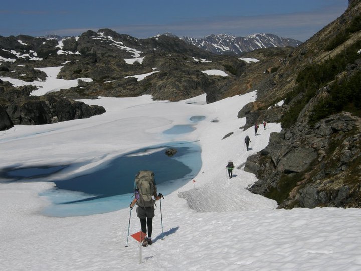
10. Yukon Trail, in Central Alaska. "The famous path taken by the miners in the gold rush almost sixty (now over 120) years ago"
Now known as the Chilkoot Trail, it appears to be part of the Klondike Gold Rush National Historical Park. Wikipedia states that it is a popular hiking trail and has placed limits on the numbers of hikers that can be on it at any given time.
11. White Pass and Chilkoot Pass, near Skagway, in the southeast. "Dangerous mountain trails taken by the miners into the Yukon Territory."
These are also in the Klondike Gold Rush Park. I think the Yukon Trail (#10) may refer to something else, but I cannot figure what using current search methods. This Alaska article is probably going to be one of the least profuse in the way of commentary, as it is so far away and I don't know anything or even have any pre-conceptions about most of the sites listed here.
12. Richardson Highway, "a beautiful highway between Valdez and Fairbanks, along which can be seen the deserted towns known as 'ghost towns', once filled with miners seeking gold."
Now this is more my kind of attraction, a 368 mile drive (the first major road built in Alaska, in several stages, finished in more or less its current state by 1950).
13. Metlakatla, on an island in the southeast. "A cooperative Indian village, where everything is owned by the people, including the great sawmill, and their canning and boat-building industries."
This is not a museum, but an actual Indian reservation where people live, though it is a place tourists visit. I would probably find it interesting enough, I'm sure.
14. Ward's Cove, near Ketchikan, in the southeast. "An excellent place for hunting bear and deer."
Hunting large animals was still a mainstream enough activity in the 60s to be promoted in a kids' encyclopedia as an exciting travel opportunity.
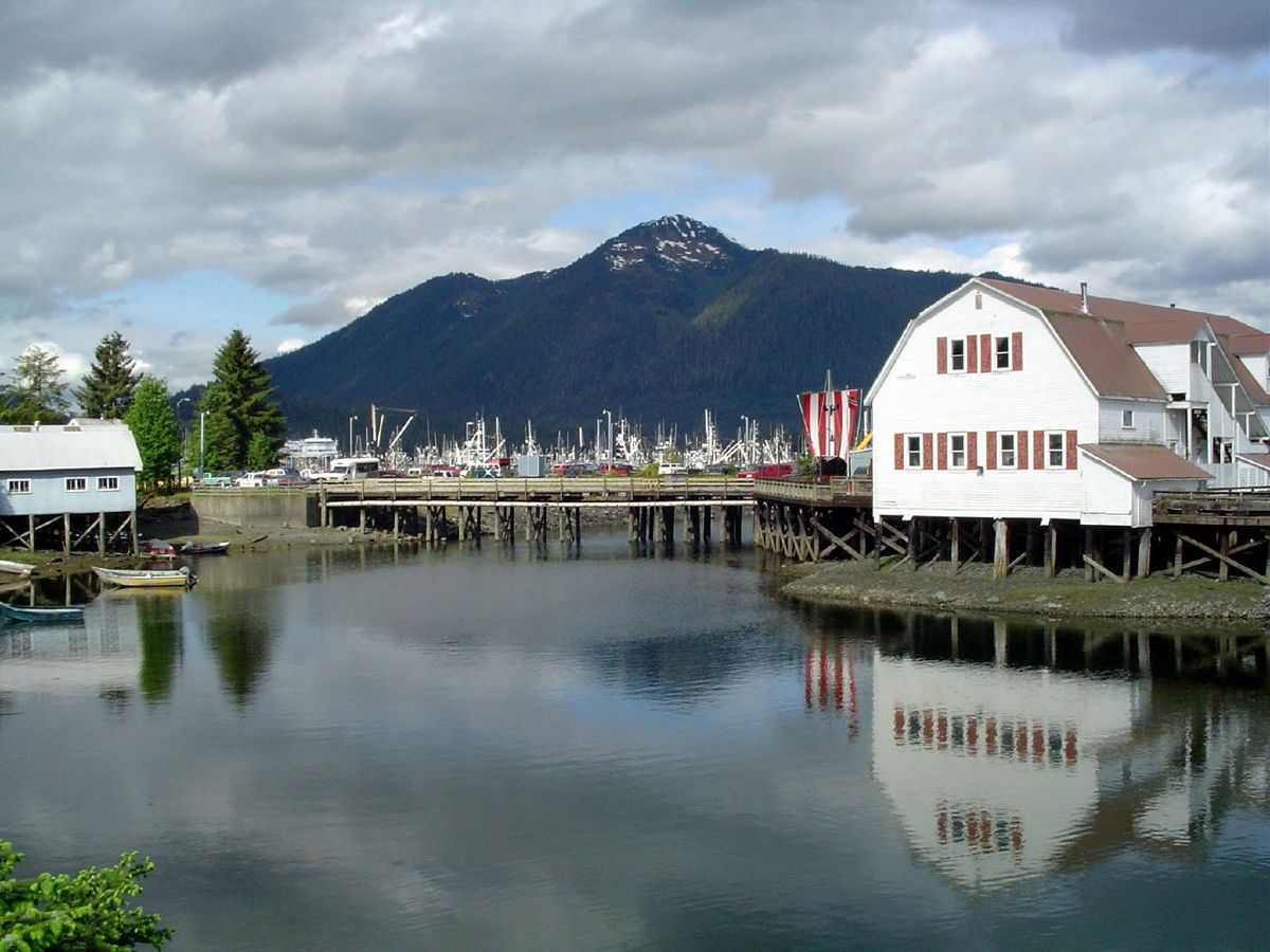
15. Mitkof Island, about 100 miles from Juneau. "Mink and fox-raising."
This is the 30th largest island in the United States. Lodging is supposed to be reasonable compared to elsewhere in Alaska. It looks like the main town (population 3,000) has two bars. I'm good to go.
